This section is intended to show how the landscape will change (for the worst) during and after the construction by Peak Cluster.
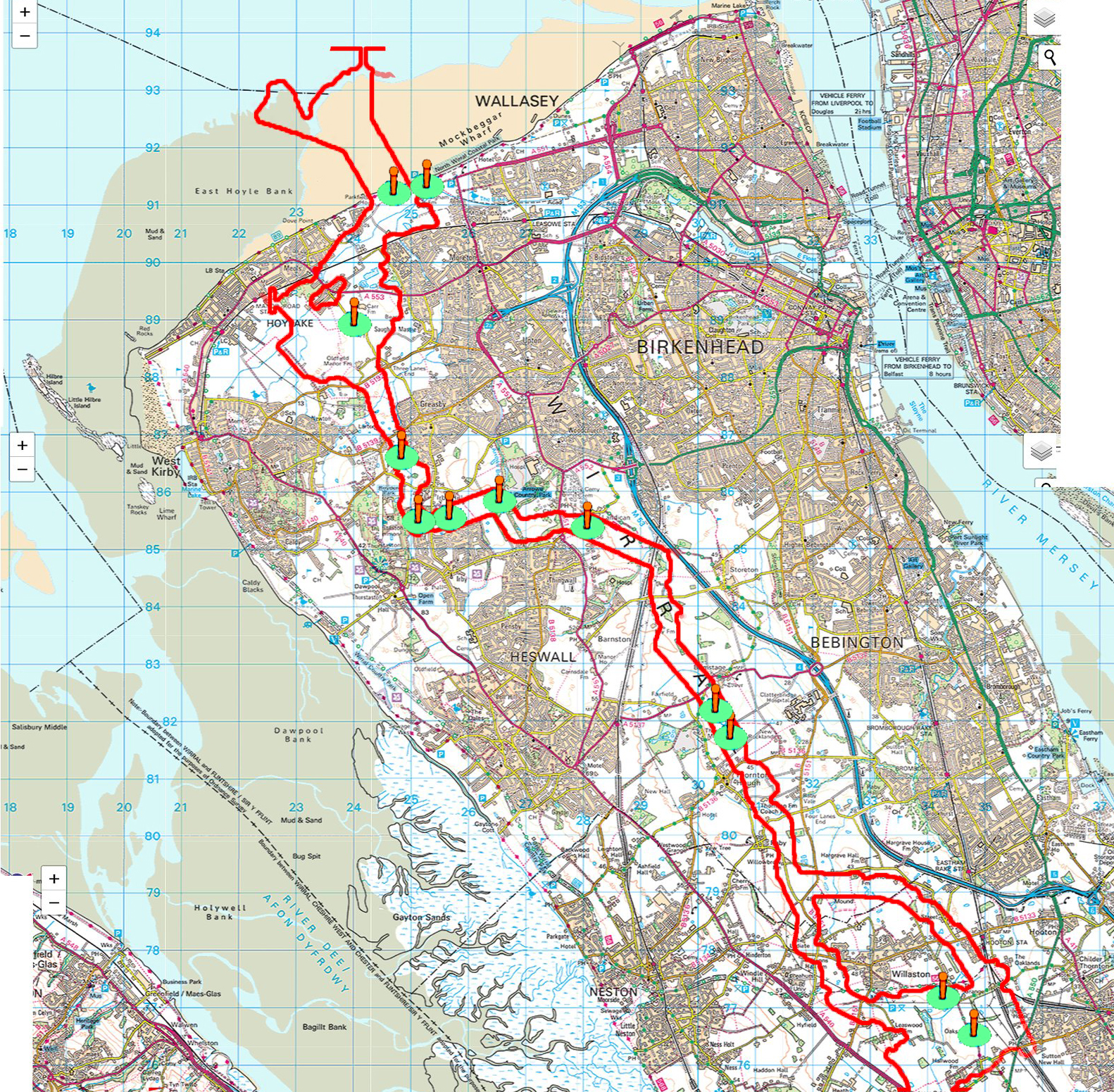
MAP Instructions: The map below of the Wirral with "clickable"  photo locations showing a Photoshopped images" of what will be lost/damaged and how it may look during/after the construction. I intend to add more "photo spots" to this map as and when I get them.